
Zionsville Neighbor Records by Block
Public sources describe a Zionsville block in layers. Boone County GIS shows parcel geometry and owner labels. Property cards and sales disclosures add parcel facts. Town boards, plans, and meeting packets show dated public roles or land actions. The Town's homeowners-association page supplies a referral channel, not a master directory. Voter material is controlled by Indiana election rules and should never be treated as an open block roster.
| Source | What It Shows About a Block | Access |
|---|---|---|
| Boone Pictometry GIS | Parcel edges, owner label, address, parcel ID, subdivision, and aerial context | Public map; search by owner, address, or parcel |
| Assessor property card | Situs and mailing fields, parcel facts, assessments, and sales-disclosure leads | GIS, property-card page, or courthouse terminal |
| Town plans and meeting files | Petitioners, owners, project sites, board members, and dated public actions | Agenda Center, Archive Center, department page, or APRA request |
| HOA and civic contacts | Voluntary association route and public officers when the group publishes them | Town referral page or the association itself |
| Indiana voter records | Registration-related information within statutory scope, not a public block directory | Personal status lookup or certified county request route |
An owner label proves only what the parcel system reported on its source date. It does not establish every occupant. A mailing address may belong to an owner elsewhere, and a business or trust may hold title. One official Zionsville address list, for example, shows a West Poplar Street situs address with an out-of-town Lebanon mailing address. That distinction is why a neighbor search should report "parcel owner label" rather than "person living there" unless a separate record supports occupancy.
Zionsville Neighbors on Boone GIS
The Boone County Pictometry GIS search bar accepts an owner, address, or parcel number. Its help also describes a leading exclamation point to force an address search and a leading slash to force an owner search. Once the target parcel appears, the map lets a researcher select other matching parcels and inspect the lots around it. Locate can jump to a subdivision or cemetery. Aerial and View 360 controls help compare map lines with visible streets and structures.
Walk the parcel edges rather than assuming that the next mailbox is adjacent. Cul-de-sacs, common areas, rear lots, drainage land, and subdivision boundaries can produce surprising neighbors. Save each parcel ID, legal or subdivision label, owner label, and source date. Export can preserve map annotations as a PDF, while the Location tool reports coordinates from the screen center. These tools support a reproducible block sketch, but they do not turn GIS into a certified deed or a current resident roll.
Map a Zionsville Neighbor Block
Use a small, consistent radius. The goal is the immediate block around one address, not every parcel on a long named street. Start at the known parcel and move clockwise. Record facts in map order so the work can be checked later.
- Force an address search in Boone Pictometry GIS and confirm the street, parcel ID, and subdivision.
- Select every parcel that shares an edge with the starting lot, then add the lots directly across the street if the question calls for them.
- Copy the owner label, situs address, mailing field, parcel ID, and source date without turning the owner into an occupant.
- Check a deed, property card, town packet, or association contact only when it answers a clear follow-up question.
For a full named-road chain rather than a tight radius, use the Zionsville street directory workflow. That broader task uses different boundaries and can include many parcels that are not near the starting home.
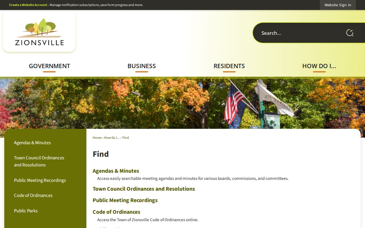
The Town's civic record finder provides another location-aware route. The captured page below helps locate public town material after a parcel or street has been identified.
Zionsville HOA Directory Myth
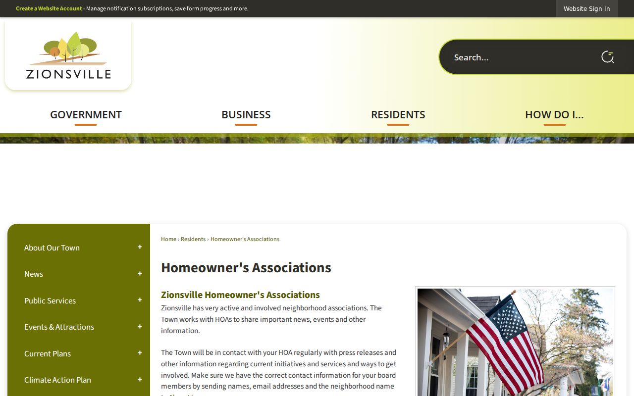
The Town's homeowners-association page does not publish a complete directory of all associations or their households. It offers an HOA contact or referral route and links to voluntary civic resources. That is useful, but it is not proof that every subdivision has an HOA, that every resident belongs, or that a roster is public.
Ask a narrow question: which association serves a named subdivision, where is its official public contact, or which meeting record mentions it? Do not request a private membership list merely to identify neighbors. A subdivision plat, recorded covenants, state business filing, or town packet may establish an organization's name and public officer at a given date. The association itself controls any private roster.
See the Town's HOA resource screen in the image below, linked through the official page above.
Zionsville Civic Neighbor Roles
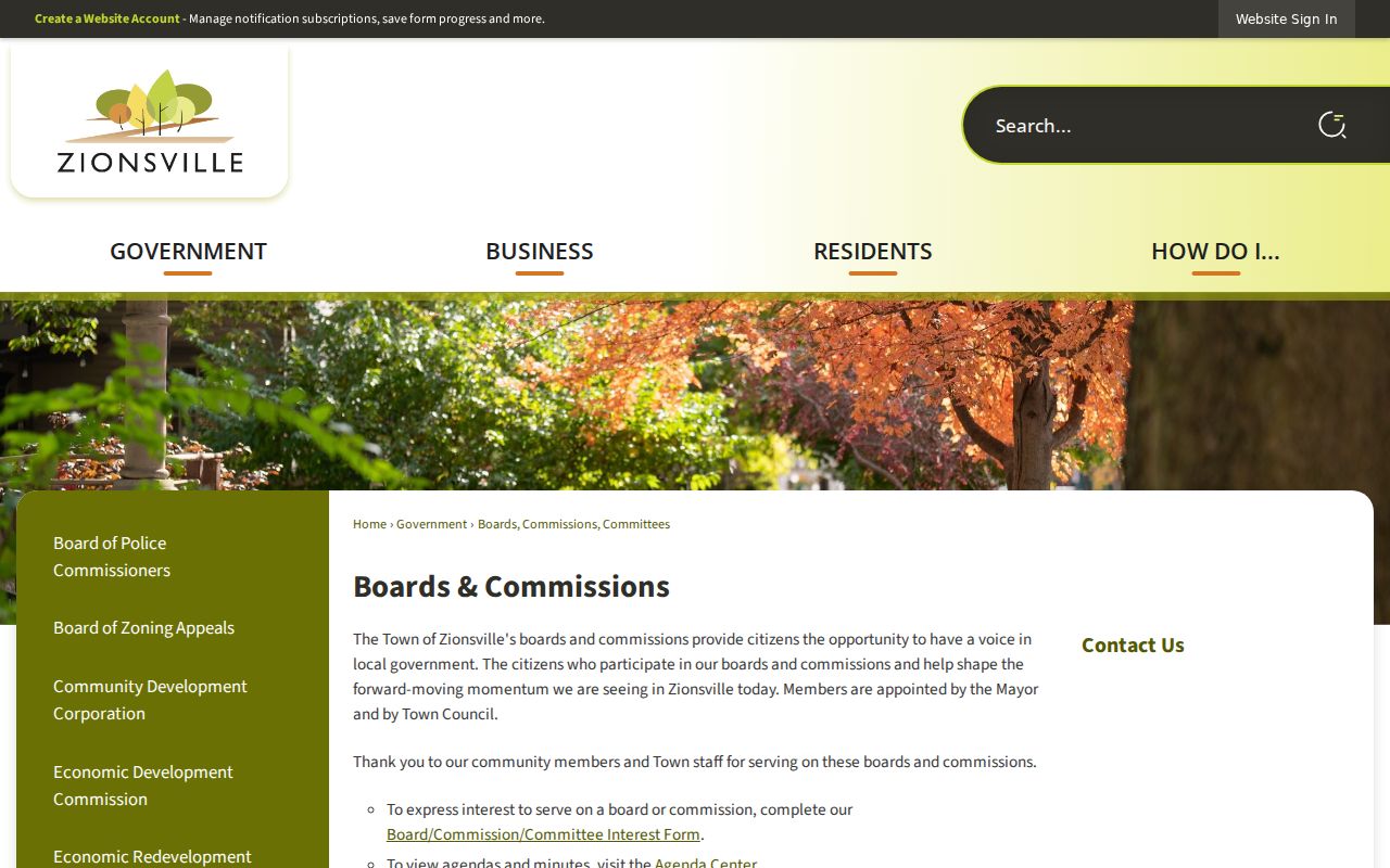
Public community roles are easier to verify than private household membership. The Town boards, commissions, and committees page can identify current public bodies. Agenda Center and meeting packets may add a meeting date, member role, petitioner, owner, project address, staff memo, and action. A person named as a board member or petitioner should be described only in that role.
Town boards
Use published rosters and meeting packets for dated public roles.
HOA contact route
Ask the Town or association for a public contact, not a household list.
Plan Commission and BZA
Search packets for parcel-specific petitions and land-use actions.
The official boards screen shown below is a starting point for civic context.
Zionsville Neighborhood Boundaries Differ
A block can sit inside several overlapping geographies: parcel subdivision, zoning district, voting precinct, postal area, town boundary, school area, or an informal neighborhood name. None is a substitute for another. Parcel edges answer adjacency. A plat defines subdivision land. Zoning and planning maps describe regulation. Precinct boundaries organize elections. Postal geography serves mail delivery.
Historic Zionsville adds another layer. The village core, railroad corridor, floodplain, bridges, and old street system shaped blocks that do not always read clearly on a modern map. Neighborhood names may survive in local files after formal boundaries change. Use the dated map that fits the question, then state which geography it represents. A plan packet can explain a road project or address action, but it cannot prove the names of current occupants.
Note: Always label the map year and boundary type when describing a Zionsville neighborhood.
Zionsville Neighbor Source Comparison
Official records and commercial neighbor tools make different claims. Official sources are narrower, dated, and tied to a custodian. Commercial products may merge old addresses, phone data, and unknown sources. Their broad output can look complete while obscuring how each fact was obtained.
| Source type | Strength | Limit |
|---|---|---|
| County GIS and property card | Parcel identity, map context, owner label, source date | Does not list every occupant |
| Town packet or public roster | Dated civic role, petition, or project address | Role does not prove residence |
| Commercial neighbor category | May collect many leads quickly | Source dates, corrections, and identity matches may be unclear |
Prefer the narrow official fact. Preserve the agency, date, field label, and record purpose. If a result matters, confirm it with the custodian rather than combining several uncertain claims into a household profile.
Zionsville Neighbor Privacy Limits
Indiana public access law does not create a complete neighbor directory. Utility customer details, private association rosters, delivery data, protected records, and confidential household facts are not ordinary public block sources. The Indiana Attorney General and Secretary of State administer address-confidentiality programs that can shield location information for eligible participants. Voter data also has access, certification, use, and confidentiality rules.
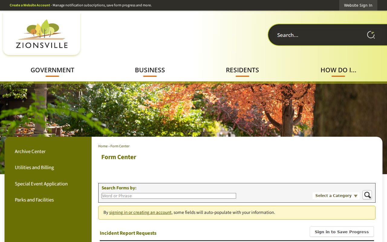
Town police reports are requested through a specific report-copy form, not a broad neighbor search. The captured form below illustrates a location-keyed request route. Disclosure still depends on the record and applicable limits.
A focused public-record request is the fallback when an eligible town record is not posted. Identify the Zionsville department, record type, location, incident or meeting, and a short date range. The Town form is best for municipal material. Boone County's APRA form is the route for county-held records and allows a requester to ask for inspection, a paid copy, or delivery by mail or email PDF when possible. Neither office must create a private neighbor roster that it does not keep.
Corrections also belong with the keeper. If a parcel owner label, meeting roster, or report index is wrong, save the source date and contact the agency that maintains it. Do not spread the mismatch across other records. This is especially important when two Zionsville neighbors share a surname, an owner uses a mailing address outside town, or an association contact has changed.
Lawful use. Look up Zionsville neighbors for civic awareness, reconnecting, or a property question. Never use public facts to watch, intimidate, harass, or harm anyone.