
Zionsville Previous-Resident Sources
No single roll lists every person who once occupied a Zionsville property. Start with the era being studied. Recent ownership appears in the Boone County parcel and recorded-document systems. Older ownership may require courthouse books, Auditor Transfer Books, and re-recorded instruments. Household evidence comes from directories, census schedules, newspapers, obituaries, and the local files at SullivanMunce Cultural Center. Maps and planning records help prove that an old address points to the same ground.
| Source | Years It Covers | Where Held | What It Shows |
|---|---|---|---|
| Recorder index and deed books | Online dates conflict: deeds from 1988 or 1993; other documents from 1989 or 1996 | Boone County Recorder and Doxpop | Grantor, grantee, instrument, recording date, and legal description |
| Auditor Transfer Books | About August 1904 forward | Boone County Auditor | Parcel transfers that bridge modern cards to older deeds |
| Directories and phone books | Year-specific local and county runs | SullivanMunce and Lebanon Heritage Center | Names linked to an address in a stated year |
| Federal census | Public schedules through 1950 | Library genealogy databases and archives | Household members and relationships at the census date |
| Sanborn fire-insurance maps | 1895, 1902, 1910, 1922, and 1939 | Indiana State Library map route | Building footprint, materials, street labels, and block context |
For a late twentieth-century question, work from GIS to the deed index. For an early twentieth-century address, combine transfer books, deed books, directories, census records, and Sanborn sheets. Earlier work may depend on re-recorded deeds, abstracts, maps, and repository files. The SullivanMunce home-research route brings those layers together for Zionsville buildings.
Zionsville Deed Index Cutoffs
The Boone County Recorder records page gives two sets of electronic start dates. One statement reaches January 1988 for deeds and January 1989 for other recorded documents. A Doxpop statement on that page gives January 1993 for deeds and January 1996 for other documents. The public page does not settle the conflict. Treat the later dates as the safe online boundary, and ask the Recorder to check the courthouse index when a transaction falls near either cutoff.
The Recorder scans, indexes, and microfilms permanent instruments. An index hit is a finding aid, not the whole deed. Note the instrument number, book and page when shown, parties, document type, recording date, and legal description. Then obtain the image or an official copy. Older past-resident work may move from the online route to courthouse books, phone help, or a copy request. A missing web result does not close the chain.
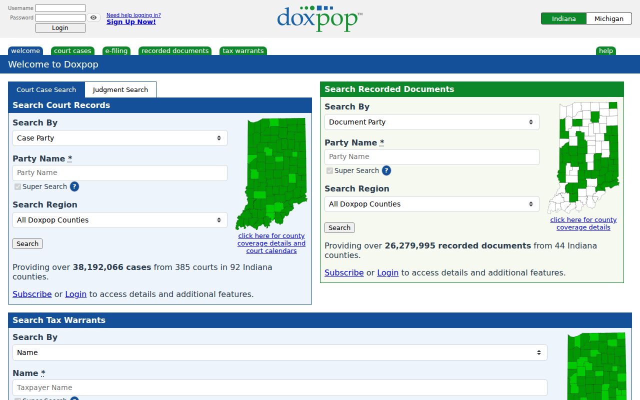
View the recorded-document search in this Doxpop access screen.
The 1856 Zionsville Record Gap
The Boone County courthouse fire of 1856 destroyed nearly all Recorder, Treasurer, and Auditor records created before that year. That loss changes how previous residents are traced. A clean chain may stop even when a real transfer occurred. Later owners re-recorded some early instruments in books known as Heretofore Recorded Deeds. Surviving abstracts and later summaries can also preserve facts from a lost original.
SullivanMunce's historic-home material says the historical deed index starts around Volume 1, covering December 1856 through May 1860, although some listed deals date to 1853. Researchers should label each item correctly: original deed, re-recorded deed, index entry, abstract note, or later account. These are not interchangeable. When an early link is absent, compare party names, addition and lot, adjoining owners, and later legal descriptions before deciding the trail truly ends.
Note: Fire loss explains an empty book search, but it does not prove that no transfer or household existed.
Trace Zionsville Owners Backward
A backward chain begins with the current parcel, not an old surname. Search the Boone County Pictometry GIS by address to obtain the current owner label, parcel or state ID, and map context. The Assessor property-record card may add sales information. Carry the legal description into the Recorder search because historic instruments often omit a modern street address.
- Record the parcel ID, current owner label, situs address, and legal description from GIS or the property card.
- Find that owner's acquisition deed. Save the grantor, recording data, book or instrument number, and exact land description.
- Search the seller as a grantee to locate the deed by which that seller acquired the same land.
- Repeat the link, checking the addition, lot, acreage, and exceptions each time. Do not match on surname alone.
- At the electronic cutoff, ask for the courthouse index, Auditor Transfer Books, deed books, microfilm, or a copy from the Recorder.
- Grantor
- The party transferring an interest in the land.
- Grantee
- The party receiving that interest.
- Chain of title
- The linked series of transfers for the same parcel.
- Legal description
- The lot, addition, section, or metes-and-bounds text that identifies land more reliably than an old street number.
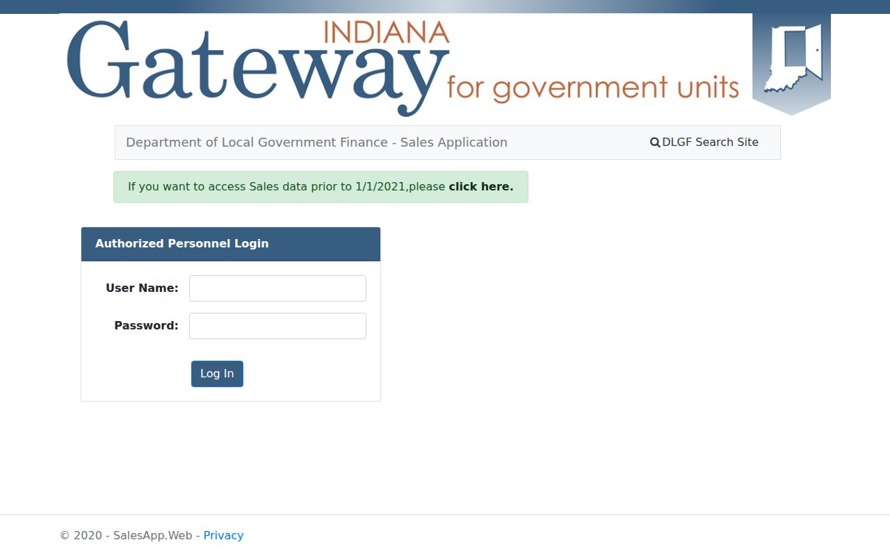
The state sales-disclosure search is another bridge when an inactive parcel no longer appears as expected. See the Indiana sales-disclosure route captured below.
Zionsville Addresses Changed in 1935
An old Zionsville address may point to a different modern street. The local 1935 renaming sheet says old Main became Pine, while old Meridian became Main. Station or Depot became Cedar, and several numbered streets shifted positions. A household shown on Main in a 1920s directory cannot be placed on present-day Main Street without translation.
Write down the historic address exactly as printed. Then compare the renaming sheet, a period map, the addition and lot in the deed, nearby cross streets, and the modern GIS parcel. The legal description is the control point when names conflict. The railroad corridor, later First Street, and village-core changes add more reasons to check a period map rather than rely on a modern geocoder.
Address check. Match the old street name, year, addition, lot, and cross street before attaching any resident to today's parcel.
Five Zionsville Sanborn Snapshots
The Indiana State Library Sanborn guide lists Zionsville sheets for 1895, 1902, 1910, 1922, and 1939. Those five snapshots can show a building footprint, construction material, outbuildings, street label, block number, and nearby landmark at a specific date. They do not identify every occupant, and they are not deeds.
Use a Sanborn sheet between directory or deed years. If a building appears in 1910 but not 1902, the map narrows the construction window. If a street label changes between sheets, it can test the 1935 translation. Pair the result with permits, a deed, an abstract, a directory entry, or a dated newspaper item. The map supplies physical context; another record must supply the person.
Lot 37 Tests the Trail
A SullivanMunce example follows Lot 37 in the Oliver Addition. The guide notes a $35 sale on March 21, 1860, followed by a $300 sale on April 15, 1862. That increase is a clue that something changed, but it is not proof that a house was built. Land area, related-party terms, improvements, or another condition could affect price.
The sound next step is to inspect both instruments, compare their legal descriptions, identify each grantor and grantee, and seek a map, tax record, newspaper item, or later abstract. This small example captures a core rule for Zionsville previous-resident research: an interesting price jump can guide the search, but a conclusion needs a record that actually states or depicts the change.
Zionsville Past Household Evidence
Owners are only half of a house history. A directory may place a householder or phone subscriber at an address for one publication year. A public census schedule can show a fuller household at its enumeration date. SullivanMunce holds family files, census material, obituary and news items, directories, yearbooks, maps, and house-history resources. Lebanon Public Library's Heritage Center adds county directory runs, phone books from 1916 through 2020, newspapers, microfilm, and vertical files.
Build a dated grid rather than one long narrative. Put directory years in one column and public census years in another. Record the exact printed address and name spelling. This helps keep previous residents distinct from owners who lived elsewhere. Then use newspapers, cemetery material, probate, marriage, or vital indexes to explain when a person arrived, departed, or died. The historical collections themselves are described on the Zionsville city directory page; use their page and volume citations so another researcher can repeat the work.
- Choose a year and copy the directory entry exactly.
- Check the nearest public census schedule and confirm street or enumeration geography.
- Compare all household names, ages, and relationships without assuming every person stayed all year.
- Use obituary, newspaper, cemetery, or probate records to test a departure or death.
Lawful use. Research Zionsville previous residents for house history, genealogy, estate work, or personal curiosity. Never use an old address trail to track, harass, or harm a living person.