
Walk a Zionsville Street Record
Begin with the street address as written today, but do not treat the first owner name as proof of occupancy. The Boone County Pictometry GIS links an address to a parcel number, State parcel ID, subdivision, lot lines, and map context. Those stable identifiers make the rest of the Zionsville street directory much easier to use. Save the physical, or situs, address and the mailing address as separate facts.
- Search the current address in Boone GIS and select the matching parcel.
- Record the parcel number, State ID, subdivision, owner label, situs address, and mailing address.
- Open the Assessor property record card and sales disclosure route for assessment and transfer clues.
- Search the Recorder by the owner name and legal description, then confirm the deed image or certified copy.
- For an older household, translate the historic street name and consult local directories, maps, census, and obituary files.
This chain moves from a place to an owner of record, then to the instrument that explains a transfer. A voter record or old directory may add a person-address link, but it carries its own date and limits. Keep the source date beside every name.
Zionsville Street Directory GIS Fields
The county map is the strongest current street-browsing tool documented in the research. Its search bar reads “Search Owner / Address / Parcel#.” Help also permits State ID searches. A leading exclamation point forces an address search, while a leading slash forces an owner search. The first result and other matches can be selected, which helps when one owner holds several parcels.
| Search field | Use | Format note |
|---|---|---|
| Address | Find one situs address | Use ! before the address to force this mode |
| Owner | Find parcels under a recorded owner label | Use / before the name to force owner mode |
| Parcel ID | Return a specific county parcel | Best bridge to tax and deed work |
| State ID | Match the state parcel identifier | Keep distinct from county parcel number |
| Locate | Jump to a subdivision or cemetery | Useful when the street spelling changed |
Map controls add aerial and four oblique views, adjacent parcels, road labels, right-of-way, and subdivision context. Export can save annotations as a PDF. These are research aids, not certified proof of title or a statement about who sleeps at an address.
Note: Confirm parcel facts against the Assessor card and a recorded instrument before linking any person conclusively to a Zionsville property.
Zionsville Records Indexed by Street
No single address roll answers every street question. The Zionsville street directory works best as a coverage chart: choose the source that records the role you need, then use its fallback when the web result is missing.
| Record set | Keeper | What it can show | Access |
|---|---|---|---|
| Parcel card and sales disclosure | Boone County Assessor | Owner label, situs, parcel, assessment and transfer facts | GIS, PRC page, courthouse terminal |
| Parcel map | Boone County GIS | Lot lines, nearby parcels, roads, aerial context | Free public viewer |
| Deeds, liens, plats | Boone County Recorder | Named parties, legal description, recorded transfer | Online index, courthouse, copies |
| Address and permit files | Zionsville Planning and Building | Address assignment, permits, plans, code matters | Department files or focused APRA request |
| Historical street and house files | SullivanMunce Cultural Center | Old names, abstracts, photos, maps and family files | Call, visit, or limited online collection |
The Assessor states that public terminals also provide property cards and sales disclosures. Printing is listed at ten cents per page. Inactive-parcel disclosures route to the state DLGF sales search. Sales disclosures are public from January 2000, but a disclosure describes a transfer event, not present occupancy.
Zionsville Street Ownership Clues
The Boone County Assessor property-card page is the next stop after GIS. It points to current cards and sales disclosures online or at public courthouse terminals. The Assessor values property and uses disclosure data and annual trending. The Auditor, not the Assessor, handles deductions and older transfer books.
A homestead deduction can be an occupancy-related tax clue, yet it is not a current household roll. Corporate ownership, trusts, estates, and an out-of-town mailing address are also common reasons that an owner label will not answer “who lives here.” One official Zionsville address list, for example, shows a physical address on West Poplar Street and a separate Lebanon mailing address for an LLC. That example proves only that situs and mailing fields differ.
The source page pictured below shows the county's route to property record cards and sales disclosures. Open the official Assessor source before relying on its current links.
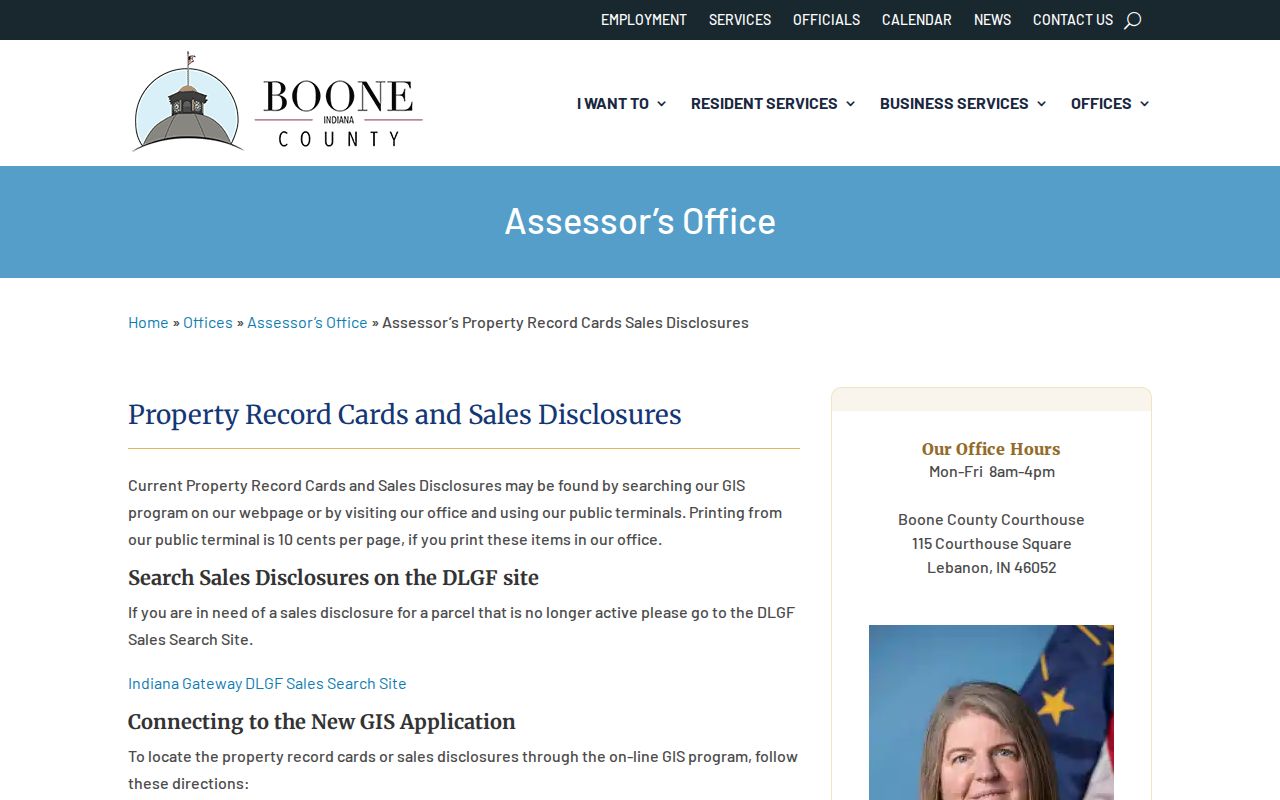
The screenshot helps identify the correct government route; the parcel returned there still must match the street, parcel ID, and legal description.
Zionsville Streets Through Deed Records
The Boone County Recorder keeps deeds, mortgages, liens, leases, easements, plats, powers of attorney, and other recorded instruments. Search by the owner name learned from GIS, then inspect the legal description for the same lot or parcel. A grantor gives an interest; a grantee receives it. The recorded image, not the index label alone, supplies the legal detail.
Online coverage must be stated with care. One county statement says deeds extend to January 1988 and other documents to January 1989. A Doxpop statement on the same page says January 1993 for deeds and January 1996 for other records. The research did not resolve that conflict. Call the Recorder at 765-482-3070 or use the courthouse index when the needed date falls near or before those ranges.
Official or certified copies come from the Recorder. For older property, also use Auditor transfer books, which the local house guide says reach to about August 1904, and then confirm each clue in the recorded deed.
Zionsville Address and Permit Files
Zionsville Planning and Building is the local address-assignment custodian. It also handles improvement-location permits, building and sign permits, easement encroachment, code enforcement, and Plan Commission or BZA filings. Ask for one parcel, one address, a date range, and a named type of record. That is more likely to locate a file than asking for a directory of people.
The Planning and Building Department page is shown below. It gives the official channel for address and permit questions.
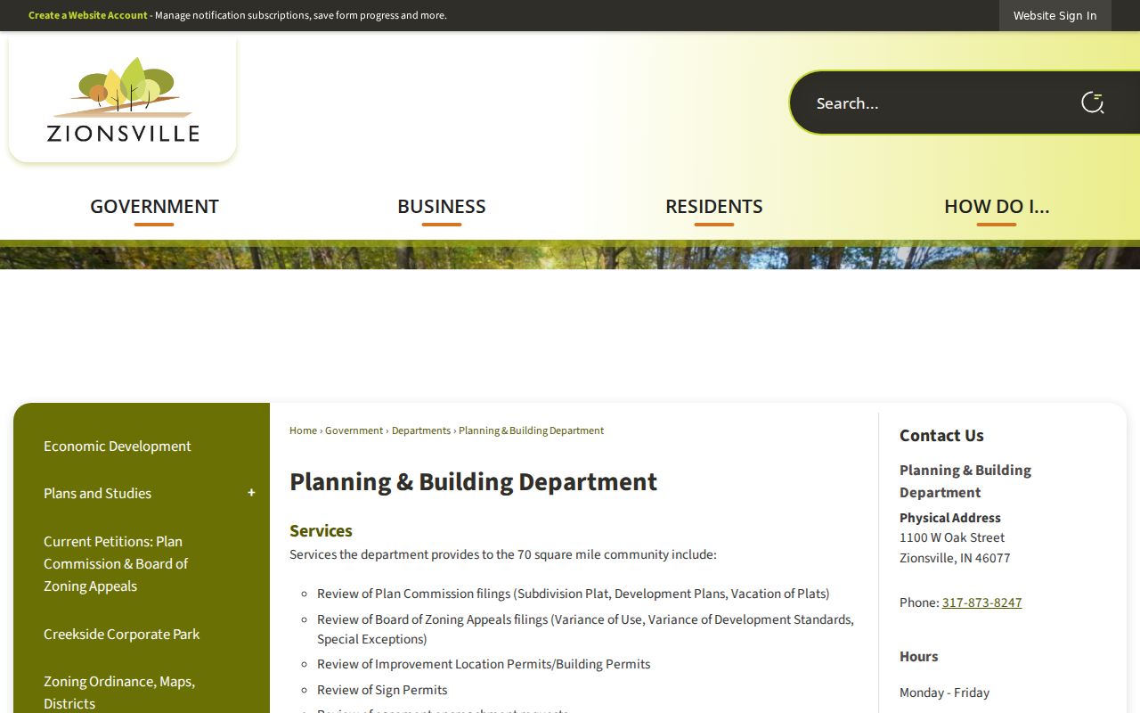
The department record can explain when an address was assigned or work was approved, but it does not prove the applicant occupies the site.
For a code concern, the planning investigation request provides an address-keyed intake route. Public records requests go through the Town's APRA form and should name the sender or recipient, a six-month-or-shorter span when possible, and useful keywords.
Zionsville Streets Renamed in 1935
A historic address can point to the wrong modern street unless the 1935 rename table is applied. The local SullivanMunce house guide records Water becoming Elm, Meridian becoming Main, South becoming Oak, Center becoming Hawthorne, Station or Depot becoming Cedar, and a long numerical shift in which West became Second and several numbered streets advanced by two.
Other changes include Malora to Ninth, Mill to Sycamore, Short to Plum, Main to Pine, Grove to Linden, Lebanon to Ash, and several Academy names becoming Walnut, Beech, or Locust. The full table should be checked because Maple, Laurel, Poplar, and some other names stayed the same or followed more specific rules.
- Parcel
- A unit of land identified for assessment and mapping.
- Situs address
- The physical location of a parcel, which may differ from its mailing address.
- Plat
- A recorded map that lays out lots, streets, and subdivisions.
- Criss-cross directory
- A directory arranged by address or telephone number rather than only by surname.
When an old directory and deed disagree, preserve both spellings and dates. Then compare the addition, lot, cross street, and map before declaring they describe different places.
Boone’s Fire Changed Street Research
The 1856 courthouse fire destroyed nearly all early Recorder, Treasurer, and Auditor records. That loss creates a record shadow, not proof that an owner or street did not exist. “Heretofore Recorded Deeds” books contain transactions recorded again over roughly the next two decades, while the historical Recorder index begins with Volume 1 in December 1856 to May 1860 and includes some earlier transactions.
For a pre-fire Zionsville street, try surviving land grants, court order books, marriage material, later deeds, tax clues, church and cemetery sources, newspapers, and family abstracts. SullivanMunce reports nearly fifty house abstracts plus address folders, photos, letters, memoirs, and Sanborn maps. Use an abstract as a road map, then confirm a key transfer at the Recorder.
Note: A blank modern index is especially weak evidence for Boone County property activity before the 1856 courthouse fire.
Zionsville Streets on Sanborn Maps
Fire-insurance maps add a building layer that parcel rolls lack. The Indiana State Library Sanborn guide lists Zionsville sheets for 1895, 1902, 1910, 1922, and 1939. Compare the years before and after the street-name change to track building footprints, use, construction clues, road lines, and railroad or floodplain edges.
The 1939 edition is the first listed Sanborn set after the 1935 renaming. Earlier sheets may carry the former name. A direct Library of Congress Zionsville item identifier was not found in the research, so start with the State Library's year list, then ask library staff for the sheet or collection route.
Sanborn evidence is not a title opinion. Pair it with a legal lot, a deed, and a dated directory or census record. The separate Zionsville city directory collections can help identify names near the mapped address without turning a map symbol into an occupant claim.
Zionsville Street Directory Fallbacks
Online tools fail, change, and omit older records. All documented access channels matter. Start with GIS, the Assessor card, and the Recorder index. Then call the Assessor or Recorder, use the courthouse public terminals, and request a specific copy. For Town material, file a focused request under the Indiana Access to Public Records Act, IC 5-14-3.
Historical work can continue at SullivanMunce, the Lebanon Public Library Heritage Center, the Indiana State Library, Boone County Historical Society by appointment, FamilySearch, and digitized map collections. Mail or email PDF delivery may be available through Boone County's APRA process. Confirm current copy terms with the custodian.
Boone County Recorder
202 Courthouse Square, Lebanon
765-482-3070
Recorded instruments and certified copies
Boone County Assessor
115 Courthouse Square, Lebanon
765-482-0140
Parcel cards and sales disclosures
Zionsville Planning
1100 W Oak Street, Zionsville
317-873-8247
Address, permit, plan, and code files
A request should identify the record, parcel or instrument, relevant dates, and preferred delivery. Do not ask a library to certify a government record.
Limits of Zionsville Street Records
A parcel record identifies an assessed owner, not every person at a home. A deed records a legal transaction. A permit names parties tied to a project. Voter information is regulated, and Indiana requires certifications and restricts use. Utility customer data and motor-vehicle address data are not a public household list. Confidentiality programs may also shield an address.
Dates matter. People move, entities own property, and mailing addresses differ from physical addresses. Use two independent sources when a person-address conclusion is important, and describe the person as owner, grantor, applicant, voter, or mailing contact according to the actual record.
Lawful use. Zionsville street records are for lawful personal research. Never use an address search to stalk, harass, threaten, or harm another person.
The street directory is strongest when it answers a narrow question with a dated record. It cannot reveal a private, complete, or live roster of a household.