
Zionsville ZIP Code Coverage
Zionsville town/place geography intersects six Census ZIP Code Tabulation Areas, or ZCTAs. The primary postal label is 46077, but the other intersections matter when checking addresses near municipal edges. Postal labels below are common labels and must be confirmed with USPS for a specific address.
| ZIP | Areas Covered | Post Office Label | Notes |
|---|---|---|---|
| 46077 | Primary Zionsville postal area | Zionsville | Does not define the full town line |
| 46052 | Intersects Zionsville place geography | Lebanon | Verify municipality in GIS |
| 46069 | Intersects the town/place edge | Sheridan | Postal label may differ from town |
| 46075 | Intersects Zionsville place geography | Whitestown | Check parcel and planning records |
| 46112 | Intersects the southern geography | Brownsburg | Do not infer municipality from ZIP |
| 46268 | Intersects Zionsville place geography | Indianapolis | Not proof that a parcel is in Indianapolis |
The Zionsville ZIP code directory therefore keeps five fields apart: postal ZIP, postal city, municipality, county, and Census ZCTA. Record the source date too. A change in delivery routes, annexation, subdivision, or road alignment can make an older address disagree with a current map.
Six Zionsville ZCTAs Compared
One incorporated town intersecting six listed ZCTAs is the key local geography finding. It creates false confidence when a ZIP filter is treated as a clean city filter. Census builds a ZCTA by assigning each tabulation block the ZIP associated with most addresses in that block. That method supports statistics, but it does not reproduce each USPS delivery route.
Census explains how ZCTAs approximate ZIP geography.
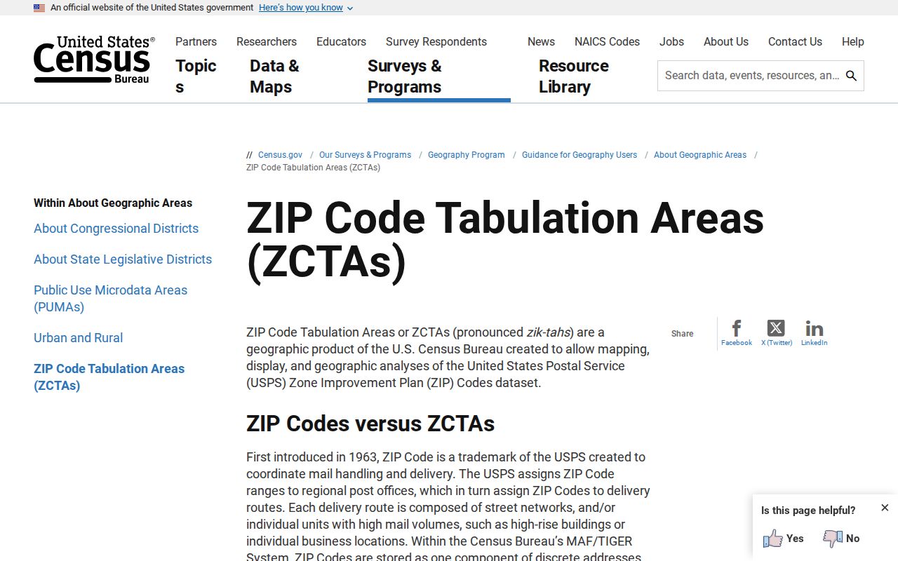
The methodology is why a ZCTA intersection should prompt a parcel check, not a claim that every address inside it belongs to Zionsville.
Search Zionsville USPS Routes
USPS Every Door Direct Mail accepts a full address, city and state, or ZIP, plus a radius and route filters. It distinguishes city, rural-highway, and PO Box routes and maps route areas. This is useful for delivery geography. It is not a resident lookup.
| Search Field | Use |
|---|---|
| Full Address | Center the current postal location |
| City and State | Find routes tied to a postal label |
| ZIP Code | Open a ZIP-wide route view |
| Radius | Limit the mapped area around the search |
| Route Type | Filter city, rural-highway, or PO Box routes |
The tool also displays household and route-planning statistics. Those are aggregate route attributes, not facts about named people. Save the query and filters if a later search must reproduce the same view.
The USPS route map shows the live postal search surface.
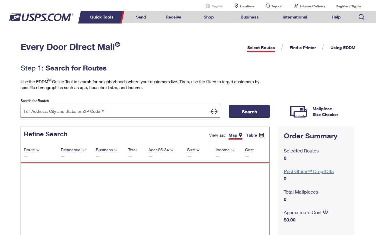
Pair its postal result with a Town or parcel source before assigning the address to the municipality.
Find Zionsville Residents by ZIP
A ZIP first reduces the search area. It cannot identify a person by itself. Use it as one field in a source that supports ZIP, then confirm the record role and municipality.
- Enter the exact address or ZIP in USPS and save the returned postal city and route context.
- Compare the address with the Zionsville town map and Boone GIS parcel. Keep the parcel identifier.
- Check whether the record sought is postal, property, voter, planning, or recorded-document data.
- Use that custodian's own search or request form, preserving its date and role labels.
- When the search reaches a named road, move to the Zionsville streets lookup for address-level work.
Indiana Voters requires a first name, last name, date of birth, and county. It does not offer an open search of all names in a ZIP. A qualified computerized voter-file request uses VRG-24, stated scopes, certifications, and the Boone Clerk process. ZIP should not be used to bypass those rules.
Note: A ZIP-wide result remains a lead until the exact street, parcel, record role, and source date agree.
Check Non-46077 Zionsville Addresses
A Zionsville address carrying a Lebanon, Sheridan, Whitestown, Brownsburg, or Indianapolis postal ZIP is not automatically outside the town. Begin with USPS, then verify the physical address and municipality in Boone GIS. For a new or changed address, Zionsville Planning and Building is the assigning authority and its file is stronger than a ZIP-only inference.
The Town's map hub connects users to Boone GIS, USPS ZIP, township, zoning, and other layers while warning that mapped representations are not authoritative. A plat or Recorder document controls legal parcel boundaries. Planning controls its address-assignment record. USPS controls delivery addressing. Census controls its statistical geography. Report a disagreement instead of forcing all fields to match.
The Zionsville Comprehensive Plan provides municipal planning context.
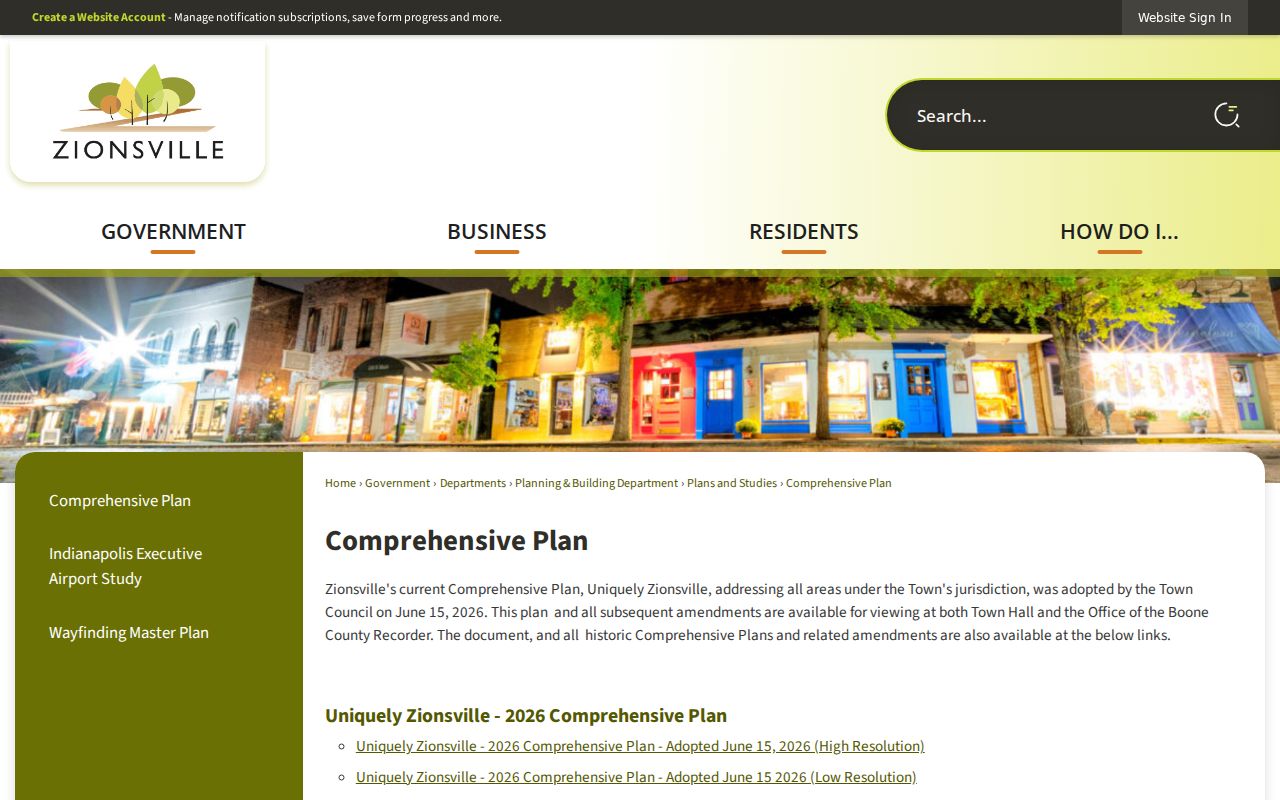
The planning source gives current municipal context that a postal route or Census ZCTA cannot supply.
Zionsville ZIP Source Roles
Use the source that owns the geographic fact. Mixing source roles is the most common cause of a bad ZIP conclusion.
| Starting Point | Verify Next | Reason |
|---|---|---|
| Zionsville label | Street, parcel, Town boundary | Postal city may exceed or miss town limits |
| 46077 | USPS route and Census ZCTA | One ZIP is not the whole municipality |
| Street number and name | Boone GIS and Planning record | Handles parcel splits and assigned addresses |
| Neighborhood name | Plat, GIS, or Town map | Informal names may not be legal geography |
| Population or area | Census place profile | Place statistics differ from ZIP statistics |
At the town edge, store the USPS result exactly as returned, then add municipality and county from their sources. If fields conflict, show the conflict and the date. This makes the Zionsville ZIP code directory useful without pretending a single map answers every question.
Track Zionsville Geography Changes
Postal routes, annexations, road projects, new plats, and municipal plans can change the context around an address. Zionsville adopted its “Uniquely Zionsville” Comprehensive Plan on June 15, 2026. Current and historic plans can be viewed through Town sources, with Town Hall and the Boone Recorder providing additional access routes.
The 2026 roadway schedule is another reason to date a geographic claim. Road work does not itself change a ZIP, but new alignments, access, and address records can make an old source less clear. Search the official news archive for the current project, then compare Planning, GIS, USPS, and any recorded plat.
The Town news archive records current planning and roadway context.
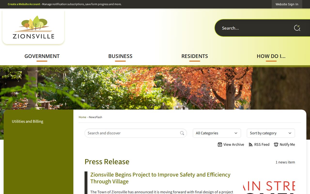
The archive adds a date and public document trail to changes that may affect later address research.
Request Zionsville Address Records
Not every address-assignment file is online. Ask Planning for a current or changed municipal address. Use Boone GIS and the Assessor for parcel identification, the Recorder and recorded plat for legal boundary history, and USPS for delivery questions. A library or historical society can help locate an old map but cannot certify a current ZIP.
Under the Indiana Access to Public Records Act, a focused request should name the parcel or street, document type, date range, and likely department. The Town form supports current municipal records. Boone County's form supports inspection, paid copies, and delivery by mail or email PDF when possible. For an older street, state the historic spelling too.
- Online USPS, Census, Town map, or Boone GIS first
- Planning or Assessor contact for an address or parcel mismatch
- Recorder or plat record for legal geography
- Town or Boone APRA request for a defined missing file
- Library or historical repository for dated maps
These access channels preserve the line between postal routing, municipal administration, legal parcels, and historical research.
Zionsville ZIPs Versus Town Limits
Zionsville's incorporated geography does not equal any one delivery area. The town reported about 67.22 square miles and a 2020 Census population of 30,603, but those are place figures. They should not be assigned to 46077 or divided among the six ZCTAs without a Census table built for that geography.
- ZIP Code
- A USPS code used to sort and deliver mail; its service area is not a legal town boundary.
- ZIP+4
- A more precise delivery code for a segment, building, or group of boxes within a five-digit ZIP.
- PO Box route
- Mail delivered to boxes at a postal facility rather than to street stops.
- Unique ZIP
- A ZIP assigned to a high-volume organization rather than a general neighborhood.
- Carrier route
- A set of delivery stops assigned to a postal carrier, which can cross other mapped boundaries.
A ZIP code directory can narrow a search and explain mismatches. It cannot prove who occupies an address, who owns a parcel, or which government has legal jurisdiction without the matching official record.
Use the boundary owner. Confirm mail with USPS, municipal status with Zionsville, parcels with Boone County, and statistical areas with Census.